Manganese Resource identification using geophysical techniques near, Panchamahal, Gujarat, India
Country: Guinea Region: West Africa Period: 2013 Commodity: Bauxite
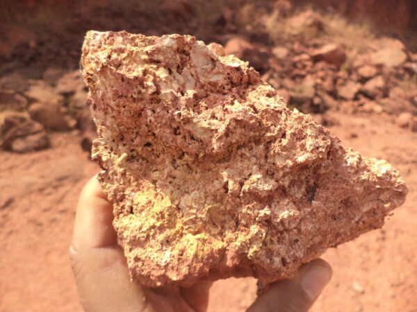
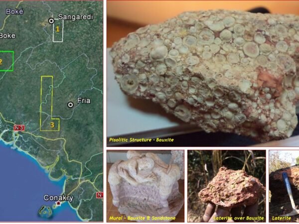
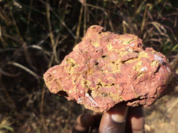
The asset evaluation program was undertaken with the objective of Preliminary & High-Level evaluation of prospective bauxite deposit scouting in various regions of Western Guinea; the region is globally renowned for largest economically exploitable deposit of bauxite. In all, 04 assets were investigated that included assets near Sangaredi town, in proximity of Compagnie des bauxites de Guinée (CBG) mines, the world’s largest bauxite mining company; Boke, Fria and Batafong. The concessions extended between 130 & 480 sq km. The bauxitic pay zone in these deposits were estimated at about 6 meters with a grade of 40% to 45% Al2O3.
With this preliminary investigation and analysis of satellite & topographic data, approximate resource areas were identified and tentative resources in each block were estimated totalling to about 2000 MT. Further recommendations for exploration along with a prospective exploration plan were submitted to the client. The study helped client to get an overview of the resource potential in each block helping the management to prioritise acquisition of the assets. One of the assets near Fria is currently under exploitation.
Tentative estimation of Gypsum resources using geophysical technique near Salalah, Oman
Country: Oman Region: Middle-east Asia Period: 2015 Commodity: Gypsum
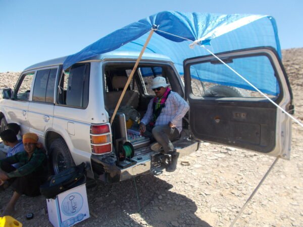
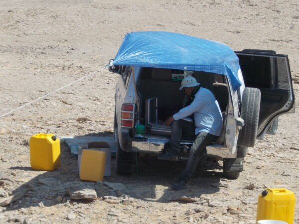
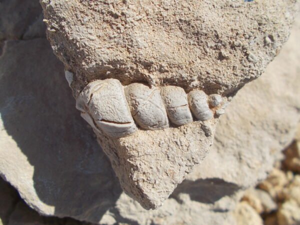
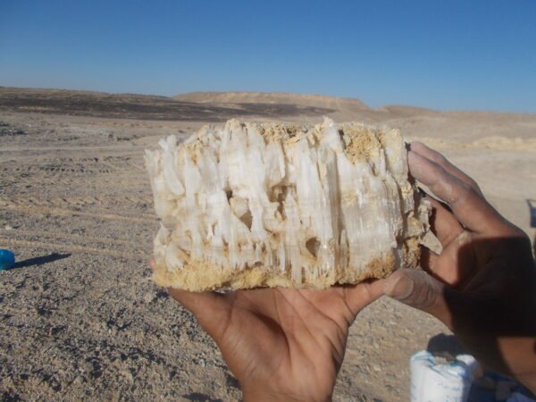
The southern highland region in Oman is known for its gypsum resources. Gypsum occurs in layered formation of several meter thickness, within a limestone/dolomite terrain. The assessed Permit extent is 80 hectares located near Thumrait at about 60 kilometre west of Salalah. Owing to regional tectonic events & geological complexities, the deposit is highly disturbed with folding, faulting & discontinuations.
Capstone’s team evaluated the permit using 2D Electrical Resistivity Imaging technique. A plan was evolved to cover the area in 07 alignments totalling 3300 meters of survey length & a target depth of 50 m. Based on this assessment a significant area has been discarded due to lack of deposit whereas about 04 MT resources could be estimated from 2D ERI sections.
Following the recommendation, the resource was evaluated, and mining commenced in 2016. Resources of high-grade gypsum of a tune of 1MT is already extracted from the zones identified in the geophysical investigation.
Diamond Core Drilling & Allied services to Evaluate Limestone Asset near Miryalguda, Telangana
Country: India Region: Asia Period: 2016 Commodity: Limestone
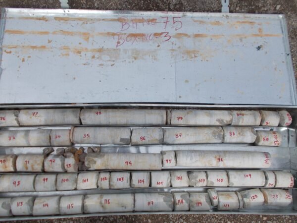
Drilling is an essential part of the mineral exploration business for resource evaluation. Fulfilling statutory norms to comply with standards require drilling evaluation. Capstone undertook the Diamond Core Drilling program in a Mining Lease area captive with a cement production unit. A total of 1500 m of drilling planned across 50 drill holes with an average vertical depth of 30 m was executed.
Capstone undertook the operation using 02 hydrostatic diamond core drilling equipment in the project. The project also involved logging of recovered core, core splitting & sampling. An average of +95 % recovery could be achieved in the program. With this intervention the client could estimate the resources of Grey massive limestone present in the deposit with an average of about 20 m thickness. Core loss was mainly attributed to presence of fractures in a few of these drill holes.
Geophysical Evaluation of Coal Asset near Latehar Jharkhand state, India
Country: India Region: Asia Period: 2018 Commodity: Coal
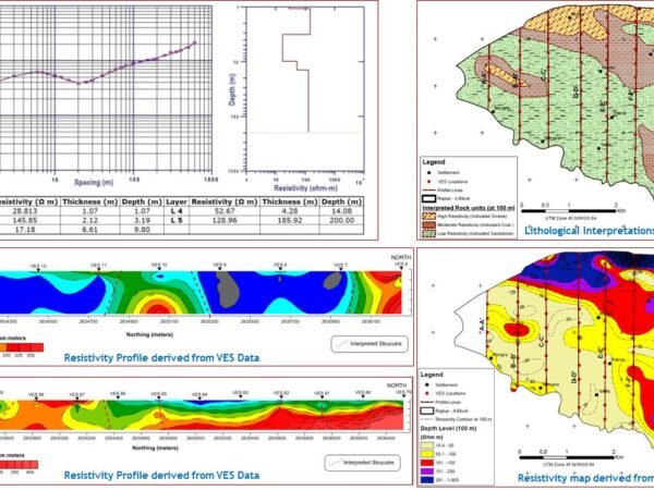
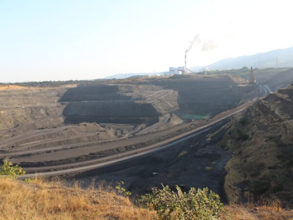
A footstep into the energy sector for Capstone, this project was part of requirement in assessment of Coal Block under purview of a central agency, CMPDIL, under Government of India (GoI). The investigation was conducted in pre-identified profile lines covering an area of 17 sq. km. in 09 profile lines totalling about 29 LKM. The scope of work included,
- Vertical Electrical Sounding (VES) at a station interval of 300 m for a maximum probe depth of 200 m.
- VES data processing for 1D interpretation of apparent resistivity.
- Collate VES data covering each profile line & prepare extrapolated 2D section (X-Z plane) showing resistivity behaviour at different depth levels up to target depth.
- Generate spatial contours of resistivity behaviour at different depth levels up to target depth
- Interpret possible structural & geological features based on resistivity contour behaviour at various depth levels.
Transforming VES data into 2D sections of apparent resistivity rendered it possible to interpret the basin configuration & structural features in a 2D/3D perspective. Different geological formations collated with Borehole data assisted in interpretation of lithological units such as sandstone (& shale), coal (& shale) & the gneissic basement along with in-crop depth estimation of these formation. The information generated has implications in evaluating the basin structure, resource area within the basins & eventually planning exploitation (mining plan).
Preliminary Geological Evaluation of Coal Deposit, Southern Province, Zambia
Country: Zambia Region: South-central Africa Period: 2022 Commodity: Coal
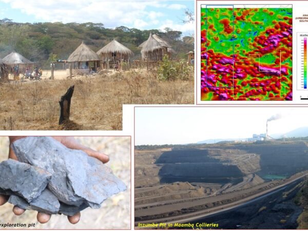
The reconnaissance mission covered three (03) prospects adjacent to each other covering a total of about 700 sq. km. The terrain essentially exposes major geological Era rock units comprising Basement rock, Proterozoic metamorphic rock, younger volcanic rocks & substantially with basaltic/andesitic flows correlated to rifting in Zambezi valley. The scope of work included,
- Desktop review of Zambezi valley coal deposit, Airborne data analysis, Remote Sensing based terrain evaluation & structural mapping.
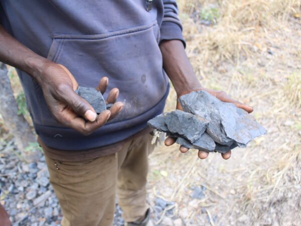
- Site investigation to understand the geological characteristics, structural features, terrain attributes & viability of the deposit for further development.
- Analyse, interpret & generate overview of the geological condition of the Gwembe coal formation.
The sedimentary unit containing coal deposit apparently occur in a very restricted space in between basaltic terrain to the south & basement rock in the northern areas. Interpretation of regional data using satellite & air bone data indicated apparent flow of Basalt & Andesite through multiple vents which lead to significant tectonic disturbances in the lower stratigraphic formation thus inducing faulting / dislocation / truncation / uplifting of the coal bearing sedimentary unit leading to severe reduction in area available for prospecting. Further on-ground evaluation using Geophysical techniques such as Gravity & Magnetic survey would help in evolving the tectonic framework & has been recommended. Drilling evaluation in the proximal area of known coal bearing horizon would reveal the true potential of the deposit.


